
This week’s immersion lesson demonstrates the use of “map questions,”
in the geography lesson. We know that maps are important, but in what
way were maps utilized in the lesson? What sorts of questions were
presented to the student in the regular map questions lesson and what about that puzzling “10-minute map exercise” lesson.
Listen Now:

“Great attention is paid to map work; that is, before reading a lesson children have found the places mentioned in that lesson on a map and know where they are, relatively to other places, to given parallels, meridians. Then, bearing in mind that children do not generalise but must learn by particulars, they read and picture to themselves…” the material from the reading. (6/224-225)
“The effect of abundant map study is obvious. In answering questions without the open atlas a scholar must rely on his powers of visualizing a particular map, a very important acquirement.” (CM Book 5)
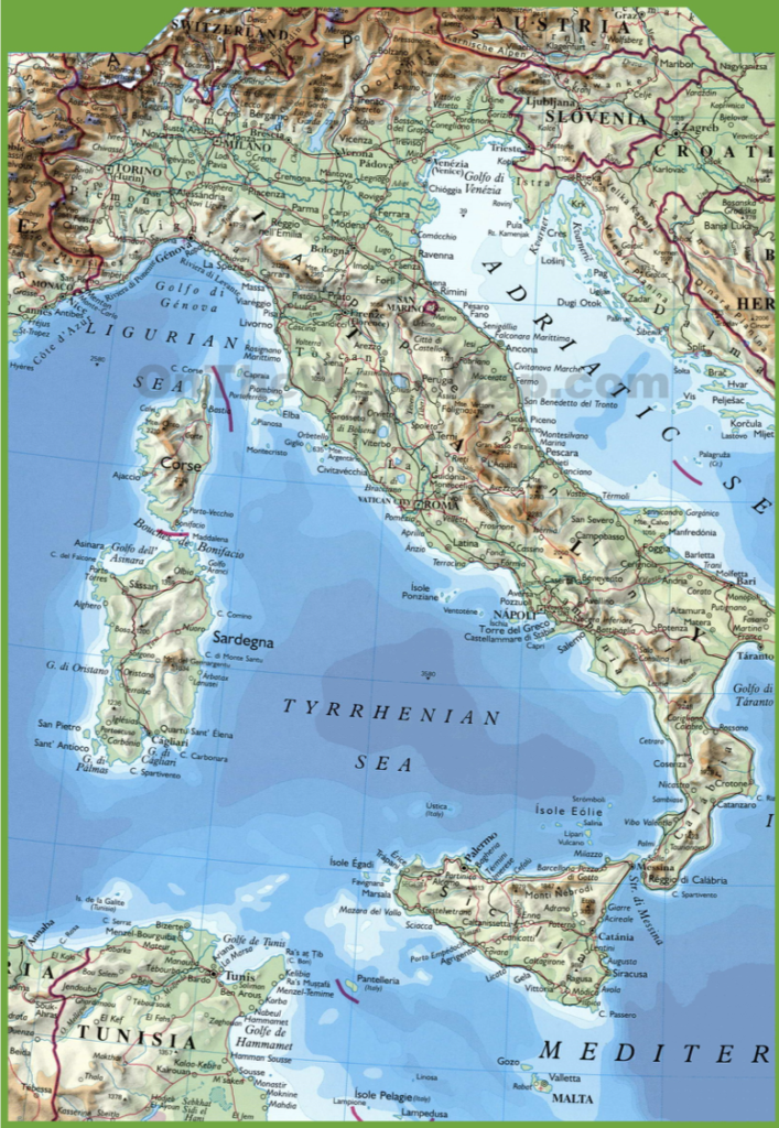
“The last lesson was a quick ten minutes’ practice on the map. ”South America” was shown and the questions were all on the once famous Inca Empire, which had incidentally come into the morning’s “General History” as a Spanish possession. Following in their own atlases, the children found the countries it had included and its boundaries; then the parallels of latitude and the parts of other continents that lay between the same. From this and from a consideration of the position and direction of the “Andes” they deduced a few facts about the climate—at this point I read from “Pole to Pole” a short descriptive passage of the characteristics of the scenery. Next they found the four highest volcanoes and two of the chief towns. Then, after a few minutes in which to look at and memorise these places, the children shut their atlases and answered such questions as, “What are the boundaries of Ecuador?” “Which volcano lies directly south of Quito ?” etc. The idea underlying such a lesson is, that it should be rapid oral work, to familiarise the pupils with maps, and must not be confused with the infinitely fuller and more detailed Geography lessons.” (Frost, PR26/573)

Charlotte Mason Geography Across the Forms Document with links to her Geography Readers
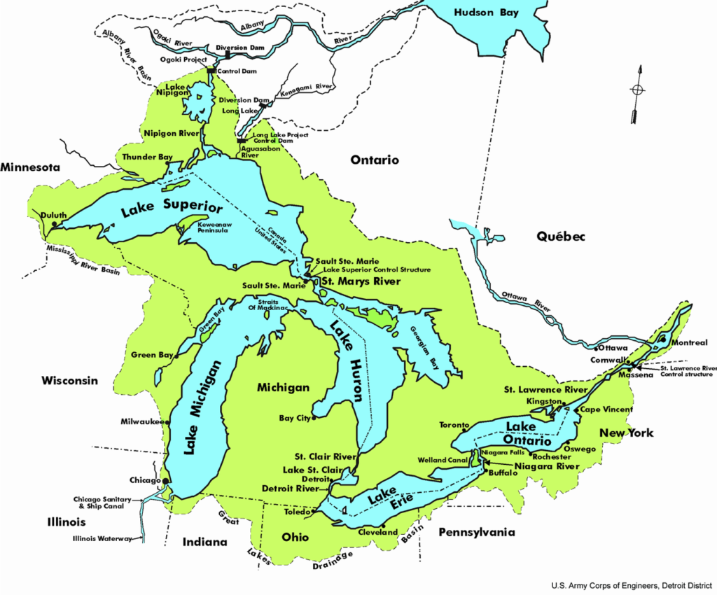
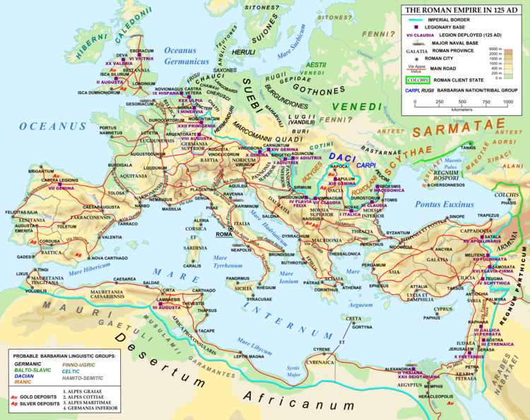
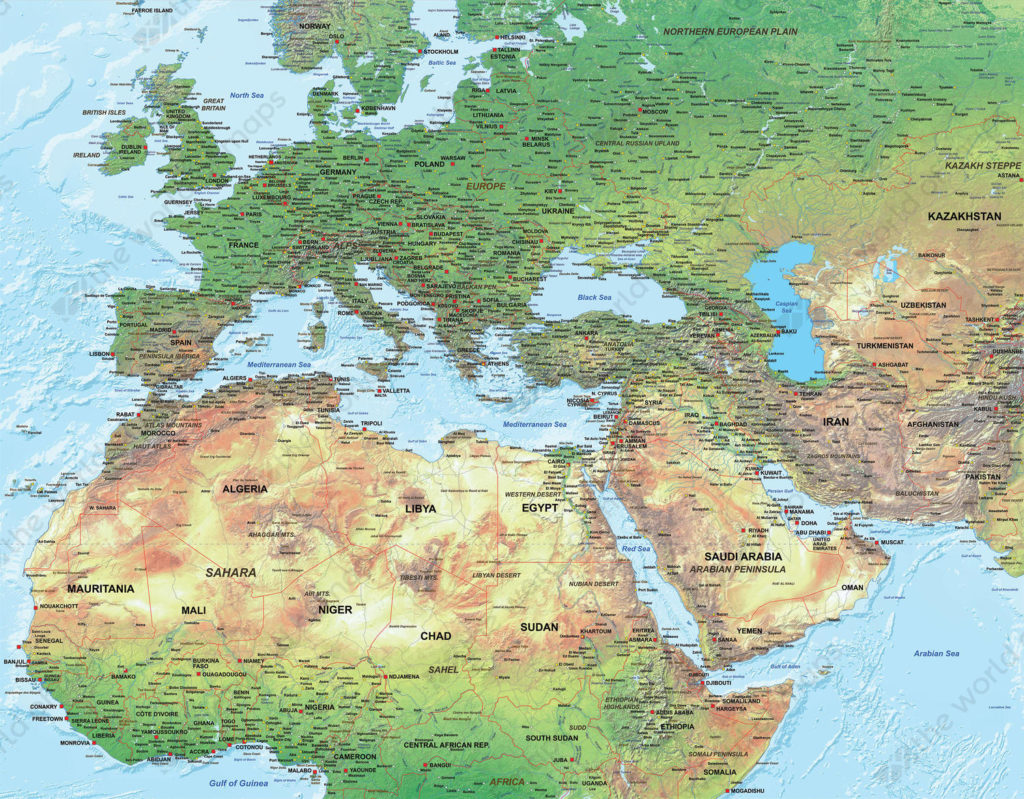
Those are great maps! Where would I find some like them? Do you have any atlases that you recommend?
Hi Aimee–
A quick look on Google Images yielded the maps I included in this lesson. I am planning to update the show notes of Episode 151 with my favorite atlas suggestions shortly.
Great! Thank you.
What would you recommend for an older student who started a CM education last year as a Form IV student and hasn’t had much previous map skills or knowledge as they go into Form V next year? It says map questions would stop at Form V, but I’m wondering if I should still continue map questions and drill so that a good footing can be gained? Great podcast today!
Hi Kayleigh, I’d definitely recommend spending some time with map questions…presumably, the first year of Form V, since they were finishing her final Geography Book, the students could still work on the map questions included in that volume. I think this is a case of giving your child their due and taking into account where they are rather than strictly adhering to the program of work normally given at that level.
I love it! These lessons were very helpful and it is easy to understand the benefits to be gained. I have purchased Charlotte Mason’s Geographical Readers for Elementary Schools and am enjoying pulling ideas for our modern American school. I have children in multiple forms and it seems like this method will require me as the teacher maybe more time than I am able to give to making map questions. If you come aware of someone who is publishing to blog or book map questions like these for home schools like mine could you please post that here?
I sure will, but I think you will find that it is very easy and quick to come up with map questions and takes just a few moments each week.
Thanks. I will try my hand at it 🙂
Thank you but I feel confused with form 2. In form 2, you do map questions, then put the map away and then do the same questions again from memory. What I am confused about is how the child can do so much and remember so much in just 10 minutes. Do you do the same region and questions every week and just expand the territory learned so that they know the area well? I can’t imagine being able to remember those names and places, and later elevations, after just 1 go round. Am I missing something. Thanks.
Hi Brittany,
It is amazing to think of all that children are capable of, isn’t it? For the regular Map Questions (the Form 2 lesson Luke and I did) there is no specification that that part of the lesson be 10 minutes–feel free to ask far fewer questions from a map when you begin this practice with your child. The same principles apply as in the rest of the CM Method–we start with the child and help him or her make slow, steady progress. Just as a child is able to narrate after a single, attentive reading, we just ask him to narrate what he learned after the single viewing of the map. We must be careful to not underestimate what he is capable of, and just try it and see: I know you will find your feet! The powers of visualizing that are so important in other areas of the curriculum are present in this lesson, so you are helping the student direct his attention to the portion of the map, one section at a time, through your questions, and he is storing that image in his mind. It’s not a test, just think of it as another type of narration–like when you ask a child to tell you what the picture was he has studied in Picture Study.
The detail level can increase as he becomes comfortable with the process, feel free to make the questions simpler at first. You would not use the same questions for the next lesson, as we don’t go over old ground, and like I said, this isn’t a test. He may not remember all the answers, but you are helping him learn “the language of the map” as CM put it. The 10-minutes’ Map Exercise that takes place, in addition to normal map questions, in Forms 3-4 give ample opportunity to review areas of the map he is already familiar with.
I hope you’ll try it and see–I am sure your child will astound you with his ability!
Thank you Emily for getting back to me. Luke set the bar so high! This is very encouraging and cannot wait to start working it all out and implementing it all into the feast. 🙂
Remember–Luke is an older student! Map Questions beginning in lower Form IA, so by the time a student reaches Form 4, he has had much practice.
I was impressed, naturally, by Luke’s memory ability, but I kept waiting to hear how you would handle it if he got something wrong, or if he simply couldn’t remember.
Sara,
I would move on to the next question. Perhaps, I would let my student study the map again after the reading that day, or, if we were still in the same region, I would work a question that had been answered wrong into the next set of map questions. By Form 3-4, the student would have much practice in visualization, and they will be able to picture the map in their mind. There is also much opportunity for reviewing regions of the world studied in the past during the 10-minute map exercises each week.
Do you recommend a book for Form III?
Sorry, I meant in Form II. Since book III covers England. Also, if an older child doesn’t have a strong foundation in geography would it be best to cover a lower Form?
Unfortunately, we haven’t found *any* geography book that can be used as is, without editing, updating, excerpting, and/or map questions added to it. We do talk about one reprinted book that is available for Form II on our Geography 2.0 episode, if you’d like to listen.
In response to your other question, you don’t need to cover the topic of a lower Form before moving on to the age-appropriate Form (such as the Form 1A overview of the continents before moving on to cover the child’s own country, for example), though there may be skills/foundational knowledge that needs to be covered during physical geography and mapwork.