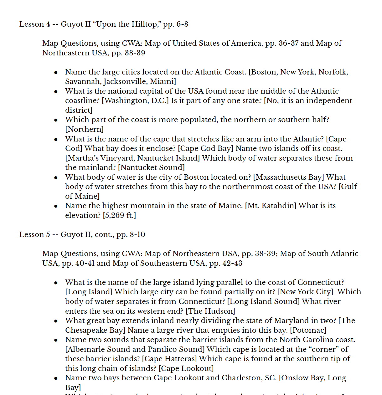

Charlotte Mason had a unique way of presenting a map to the children. She used Map Questions before each lesson in their Geography Reader. Unlike typical comprehension questions that quiz a child’s previous knowledge, we Charlotte Mason educators use these questions much like an object lesson in Natural History. By asking methodical questions about a region that will come into that day’s reading, our child directs his gaze and intentionally takes in the features of the land, both its physical and political properties. The map is placed before the child and the teacher asks each question, one at a time, while the student finds the answer on the map.
This Teacher Help has been created to make implementing this crucial practice easier for the busy educator. This resource corresponds to The Guyot Geographical Reader by Mary Pratt, and The Children’s World Atlas (2006 or later) by Colin Arrowsmith or the DK Compact World Atlas, 7th edition (choose which version to download). Each term is broken down into appropriate length lessons with the six map questions to be asked before every reading in Form IA. Containing an entire year’s worth of map questions that covers North America: The United States, Canada, Mexico, and Central America. I’ve included an additional couple of lessons from Miss Mason’s own Geographical Reader, Book II, that are still relevant for this year’s study, to bring a deeper richness to the study of this portion of the world. Specific maps to use are noted in each corresponding lesson. I highly recommend this atlas because its maps have both physical and political features on the same map, which is unusual in most children’s atlases. You are welcome to use another atlas, but you may have to adjust some of the questions or ask some different ones as all the information may not be included in your atlas.
Year 1 covers North America.
Year 2 covers South America and Beyond.
The Complete Form IA Map Questions contains both Year 1 and Year 2 for a bundled price.
Additional Resources Needed
Each year’s resource includes everything you need to implement map questions, apart from your text (The Guyot Geographical Reader) and atlas. Specific maps to use are noted in each corresponding lesson. You are welcome to use a different atlas than the one we’ve recommended, but you may have to adjust some of the questions or ask some different ones as all the information may not be included in your atlas. To round out the geography portion of a Form IA curriculum, you’ll also need to add lessons from Charlotte Mason’s first Geographical Reader (also published as Elementary Geography).
*Note: If you are interested in using these materials with a co-op or group, please email us at contact@adelectableeducation.com for group rates.
Sample Page: